Drone Solutions
Drone solutions for every challenge, every where, every time
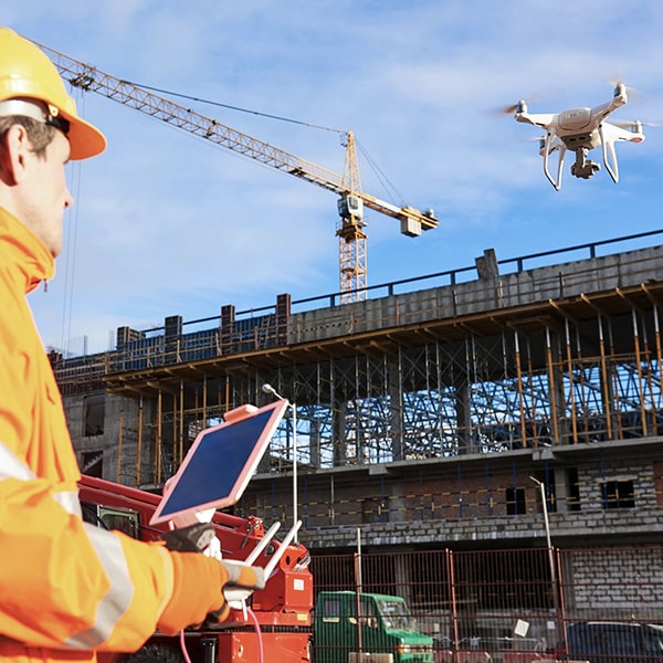
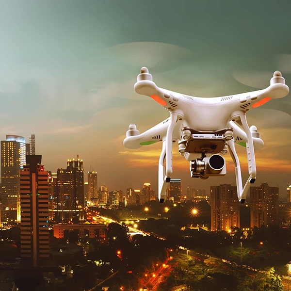
Drone Services Canada Inc with MetMetry. offers drone solutions for every challenge in every industry. Our company provides a variety of Drone services including: Aerial Surveying, Topographic Mapping, DEM’s, Orthographic Mosaics, GIS (Geographic Information Systems) Maps and Imagery,CAD Modelling, Inspections, Agricultural & Forestry Mapping, Thermal Imaging, as well as 4K Videos and Photos. The combination of these assets ensure our 3D processing is complete and to the highest degree of quality.


